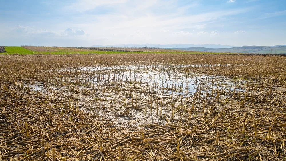
A significant warm up and dry down period is in the planting forecast this time around in the wake of a wet finish to last week and the weekend. By Monday morning, we will have seen 4 day rain totals anywhere from .75” to over 3”, depending on where you are at. However, this coming week (with the exception of Monday) we expect to see excellent evaporation with sun, warm temps and perhaps even some breeze at times.
Saturday should be mostly dry across Michigan. We can’t rule out a pop up shower or two in southern and southeastern parts of the state, but those literally can’t be targeted. Most of us will stay rain free. Sunday, we see rain statewide, with the potential for .5”-1.5” totals.
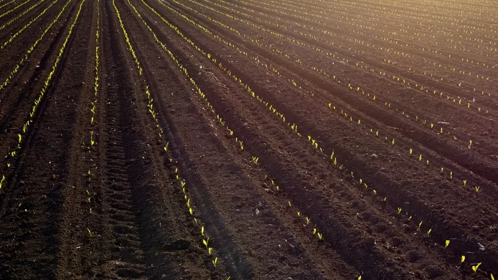
Monday will be a bit of a transition day. Wrap around, backside moisture likely keeps clouds and a few light showers around through at least midday, and some may linger in the Thumb into afternoon. Clouds don’t break until closer to sunset on Monday night or later. So, we will not see much true drying for your Monday, but we won’t add a lot of new moisture. Tuesday should be our first day of full sun, and then that dominates the rest of the week. Tuesday through Saturday we have sunshine, above normal temps and rain free weather. The map below shows temps vs. normal for late this week through the weekend. Actually, next Sunday (24th) probably turns out dry too, but after sun to start, we see clouds increase ahead of our next rain chance. With keeping Sunday dry, that equates to 7 full dry days. We won’t get in the fields right away, but with that kind of window, we should be able to get back it at some point in the second half of the week. Evaporation rates will be at nearly maximum (over .25” of moisture per day leaving) From Wednesday forward into the weekend. Rain overnight Sunday night into Memorial Day will trigger .25-.6” with 70% coverage.

Extended Period:
Memorial Day finishes dry in the afternoon. The rest of the extended period is a little more unsettled, but we are zeroing on the best rain potential coming Tuesday the 26th statewide with .25”-.6” potential and 60% coverage. Then we see thunderstorms threatening the southern part of the state early Thursday the 28th. Otherwise, we have a mix of clouds and sun with near normal temps for the week, meaning we see plenty of warmth for good evaporation. Hopefully we won’t be talking about planting in many p laces by that time, but if we still need to, there should not be long term delays in the conversation at that time.
Weeks 3 & 4:
Week three looks to shape up pretty much near normal as we start of June. Likely one minor front moving through, bringing .5” on average. Temps not newsworthy. For week 4, we dry down and take temps up to above normal for the entire week. We make it through that 2nd week of June with little to no rain in a large part of the state.
Week 3
Precipitation (green: above normal, brown: below)

Temperatures (blue: below normal, orange: above)

Week 4
Precipitation (green: above normal, brown: below)

Temperatures (blue: below normal, orange: above)

![]()