The Michigan Ag Today Planting Weather Forecast is made possible by GreenStone Farm Credit Services: Supporting rural communities and agriculture with reliable, consistent credit and financial services, today and tomorrow. Learn more at www.greenstonefcs.com.
Dry weather dominates the first 5 days of the planting forecast, in the wake of some moisture that moved over MI to finish this past week. We should see full sunshine this weekend through Wednesday. However, we are also looking very cool initially, and that cool air does not really ease much until at least next Tuesday into midweek. Temperatures will be below normal over all of MI.

The next chance of rain in MI comes from minor showers that develop next Thursday. These showers are limited to mostly the southern half of lower MI, and we can see up to .4” from I-96 southward. No moisture expected farther north. Friday will feature plenty of clouds, but limited moisture…not enough for us to even talk about at this point. Saturday could be active in the Thumb and southeast MI, with a surge of showers and thunderstorms coming up from the SW. In those areas we can see .25”-.6” of rain with 80% coverage, but the rest of the state stays dry. Sunday scattered showers come to the UP (the first instance of rain there for the entire forecast period) but totals will be a few hundredths to .3” with coverage at 40%.
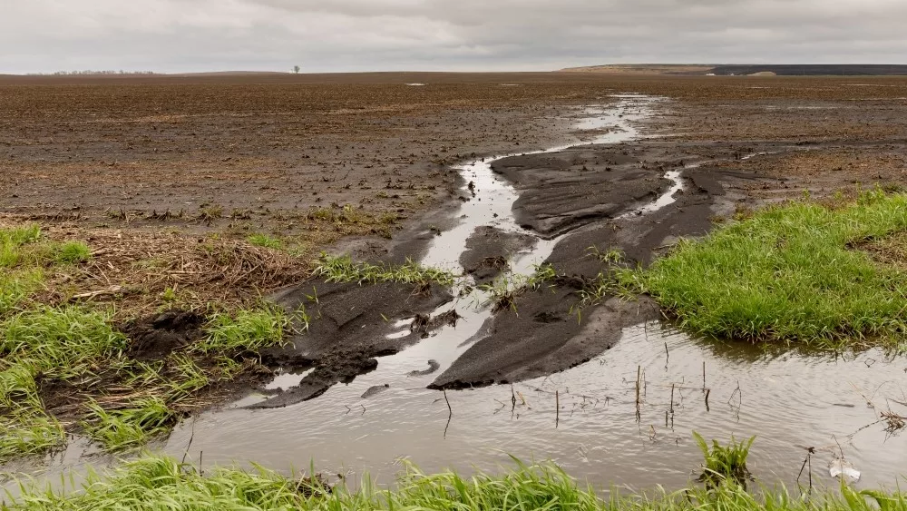
Next week a slow, sagging front works its way from north to south across the state, starting early Monday. From Monday through Tuesday morning, we see rains of .25” to 1.25” over 80% of MI, both UP and Lower MI. This will be a good rain event for all crops. However, in general, the next 10 days will feature below normal rains on average. The map above shows full 10 day rain totals for the region.
Extended Period:
While we can’t rule out an isolated shower or two for the remainder of Tuesday the 8th, we maintain a mostly dry set up over the majority of MI. Our next cold front is on the way for the 9th into Thursday the 10th with scattered showers early, bringing .1”-.5” and 80% coverage. The heaviest moisture may actually develop over the UP to start that front on the 9th. Behind that front we go dry again for the 11th and 12th but have to look out for showers and storms sagging south across of the Great Lakes for Sunday the 13th.
Weeks 3 & 4:
Week three should be near to a bit below normal on precipitation, week four does look wetter. Temps near to above normal each week.
Week 3 Precipitation v. normal

Week 3 Temperatures v. normal

Week 4 Precipitation v. normal

Week 4 Temperatures v. normal