[the_ad id=”33910″]
Colder air dominates the first part of our harvest forecast this week. That means we end up with more clouds and potential for moisture. Even though the moisture is not excessive in any way, the fact that is can be around on multiple days means we don’t dry exceptionally fast the first part of this harvest forecast. However, we turn much warmer, much drier and feature plenty of sun for the second half of the forecast.
The weekend will be mostly dry. Scattered showers rotate out of the state Saturday midday and afternoon, giving clouds and some sun. Sunday will turn out partly to mostly sunny, but clouds increase late afternoon and evening as a reinforcing shot of cold air readies its approach into the Great Lakes.
We are mostly cloudy and much colder Monday, Tuesday, and Wednesday. Monday and Tuesday we will be dealing with scattered hit and miss showers. Moisture totals combined for the two days will be a few hundredths to .5” total with coverage at 80% of the state. The moisture itself is not bad, but we definitely are not drying, and the combines likely will have to be parked in many areas to start the week. Wednesday, we don’t see any additional moisture, but we are chilly. Freeze conditions are likely in many areas in that 3 day stretch.
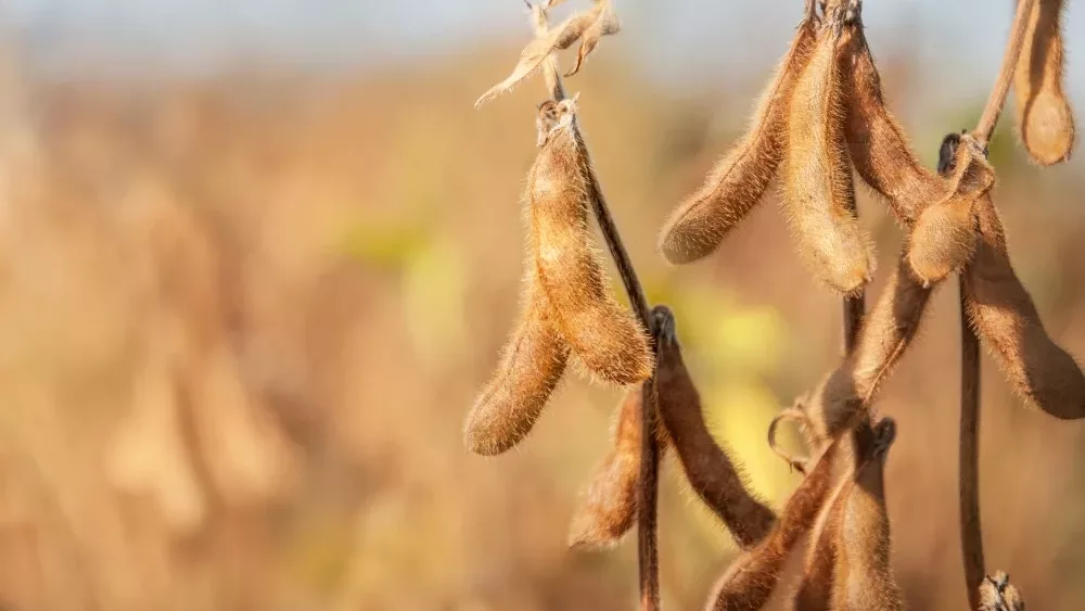
A major shift in pattern comes Thursday. We go sunny, very warm, and dry from Thursday through next weekend into Monday the 24th. Evaporation will reach a max evaporation rate through the period ensuring excellent drying. This will be when we see a large scale resumption of harvest across the state, and likely finish soybeans in many areas.
Extended Period:
Clouds increase the 25th and scattered showers show up overnight the 25th into early the 26th. Rain totals look to be .1”-.5” with coverage at 60%, skewed central and southern IN. Then for Thursday the 27th we can see another system that brings .1”-.7” with coverage at 90%. That system draws down colder air to finish the month of October. But we will shift back dry for the week to start November.
Weeks 3 & 4:
Near normal temps and near normal precipitation for the first half of November. We have a drier bias in week 3 vs. week 4, but still look to be mostly trouble free for those weeks as they relate to harvest.
[the_ad id=”33908″]
Week 3 Precipitation v. Normal:
Week 3 Temps v. Normal:
Week 4 Precipitation v. Normal:
Week 4 Temps v. Normal: