
Rain showers will start of this harvest forecast on Saturday, as a frontal boundary works its way into the state from the west. Rain totals Saturday into early Sunday will be .25”-.75” with coverage at 90% of the state. However, we do start to dry down on Sunday already, and are putting together a pretty dry outlook through this coming Friday. Sunshine dominates Monday through Thursday. Clouds build on Friday, but we will hold off on precipitation in our forecast until after sunset Friday.
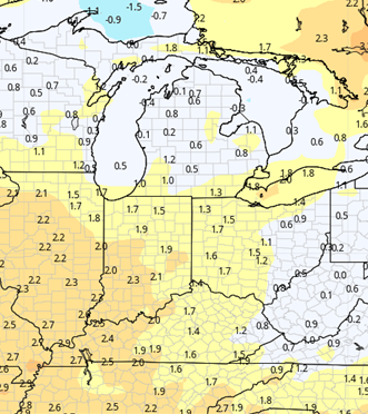
Rain showers arrive with our net frontal passage overnight Friday night through Saturday. We see wrap around backside moisture and circulation Sunday. For the weekend we likely see half to 1.5” rani totals. The map below shows what can expect for next weekend. Much colder air is coming in behind the front and we will be significant colder for Sunday afternoon and then Monday-Tuesday of next week as well. Temps will be below normal to finish out the 10 day forecast window.
Extended Period:
Temps moderate by midweek next week and will average above normal through the end of the week. A weak front Thursday may trigger some minor moisture, but the next organized threat of precipitation will come for the 19th and 20th. It looks like that will stay more to the southern part of the state and into the KY/TN areas.

Weeks 3 & 4:
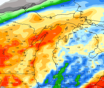
Mostly near normal precipitation in weeks three and four, similar to the next two weeks. Temps will be above normal, but to a lesser extent than what we will see this week and next.
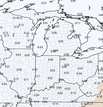
Week 3 Precipitation v. Normal:
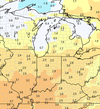
Week 3 Temps v. Normal:
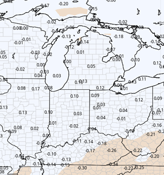
Week 4 Precipitation v. Normal:
Week 4 Temps v. Normal: