The harvest window is opening wide across Michigan! Michigan Ag Today Chief Meteorologist Ryan Martin’s Harvest Weather Forecast is presented by M&W Seeds.
Martin says we will be dry and sunny through most of next week.
“Honestly, right now, I see no threats to harvest at all here. Evaporation rates anywhere from a quarter to a third of an inch of moisture per day; that’s near maximum. We’re going to be under the influence of a high-pressure ridge that’s back in the Great Plains and Western Corn Belt here in the near term. That’s going to lead to summer like temperatures and southwest flow, well above normal daytime highs, easily in the 70s, maybe even flirting with 80.”
Martin is tracking a large-scale upper-level high sitting on top of the Great Lakes for the second half of next week.
“That means it’s going to be just a bit cooler here, but not cold by any stretch of the imagination. We’re still looking at dry weather, still looking at massive evaporation rates, if there’s anything left to evaporate by the second half of next week, and that high sits on top of us well into the week of the 6th. Now, once we get in closer to the 8th, 9th, and 10th, we’re going to start to see a few hit and miss scattered showers coming together in the cool air across northern Minnesota, northern Wisconsin and into the UP. But I do not have any concerns about those dragging southward. I think we stay completely dry here through at least the 9th and 10th.”
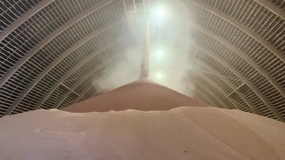
Corn and soybean harvest is behind the 5-year average pace according to USDA’s Monday report, as is sugarbeet harvest. 10% of sugarbeets have been harvested compared to the 5-year average of 17%.
Martin’s full forecast will be available in written form later Friday at MichiganAgToday.com presented by Greenstone Farm Credit Services.