The Michigan Ag Today Planting Weather Forecast is made possible by Greenstone Farm Credit Services: Supporting rural communities and agriculture with reliable, consistent credit and financial services, today and tomorrow. Learn more at www.greenstonefcs.com.
A much better planting outlook this week. We are basically wide open through the next 10 days over MI. This weekend rains develop to our south. We will leave the door open for scattered showers Sunday in the southern most counties of lower MI, but will see totals not more than .25”, unless the low we are projecting to move over southern IN moves inexplicably farther north.
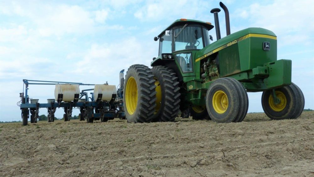
 We are fully dry for next week. Monday through Sunday we see rain free conditions statewide. That means almost all locations will be looking at the potential of 10 days of dry weather. We should see full sun as well. Temps will be cool to start for Monday and Tuesday, getting to near normal for Wednesday and Thursday, and then be normal to above normal for Friday through the weekend. That will promote good evaporation and dry down, with evaporation averaging .2”-.25” per day the first half of the week and potentially near .3” for late week. Look for fantastic field work progress this week, but cooler temps here at the start will make soil temps still a bit less than optimum. However, that should not stand in our way for the second week of May…we have to go! The map shows precipitation as it relates to normal for the next 10 days…this is a dry forecast!!
Next week we see a strong front working out of the eastern plains into the western corn belt and will look for some potential showers late Monday or Tuesday. The moisture does try to break apart a bit before getting here, so we are pegging those rain totals at .1”-.6” with coverage at 75% right now…but will tweak as we get closer to the event.
Extended Period:
Showers mentioned above to finish the 10 day period may linger through Wednesday the 19th, perhaps adding another .1”-.3” with 75% coverage. However, then we are back to dry weather Thursday the 20th through Sunday the 23rd. So, as long as rain totals stay minor, we have a decent shot at field work there.
Weeks 3 & 4:
An active precipitation track develops over the corn belt from I-80 north into week 3. Rains will be above normal across the western-upper Midwest and near normal over WI and into the Great lakes; We will be in that zone over almost all of MI. Then we likely keep rains near normal to finish May and go into early June. Temps will be a good 1-3 degrees above normal for the last week of May and the first week of June.
Week 3
Precipitation (green: above normal, brown: below

Temperatures (blue: below normal, orange: above)

Week 4
Precipitation (green: above normal, brown: below

Temperatures (blue: below normal, orange: above)