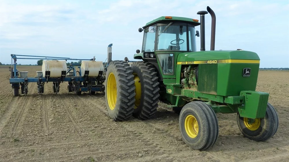
The MAT Planting Forecast is made possible by Greenstone Farm Credit Services: Supporting rural communities and agriculture with reliable, consistent credit and financial services, today and tomorrow. Learn more at www.greenstonefcs.com.
The long dry window we had this past week ends with the weekend. Next week does not look overly wet, but we do have some moisture around.
Scattered showers drift across MI for Saturday, but stay mainly over the northern half of Lower MI and into the UP. Coverage will be only 60%. Sunday turns out partly sunny, but we cant rule out showers in northern areas late afternoon and evening.
Scattered showers drift over the southern half of Lower MI overnight Sunday night and Monday, then lift north later Monday afternoon and Tuesday. Rain totals combined for the period will be .25”-.75” with coverage at 80%.

Wednesday a cold front sags through southern MI. This can trigger showers and a few thunderstorms. Areas that see rain can pick up .25” to half an inch with out thunderstorms, but storms (particularly in SW IN) can move those totals to n inch or more. However, those totals will be highly isolated. The northern half of lower MI and the UP will be partly sunny and dry. Thursday looks great in all areas.
Friday night rains come back with a front arriving from the west. Showers and perhaps a few thunderstorms will be with us off and on from there through early Sunday morning. Combined rain totals will be .25”-.75” unless we see widespread thunderstorms…then those totals could be locally higher.
Memorial Day should be dry. An unsettled pattern with a chance of scattered showers starts to develop as we move into Tuesday, June 1.
Extended Period:
For the 2nd through the 7th we have scattered showers that cannot be ruled out at least the first 3 days. Strong moisture flow comes off the gulf into the Deep South, and that can lead to the instability up here. However, daily coverage will be only 50%. Combined rain totals for Wednesday the 2nd through Friday the 4th will be up to half an inch. Then we are warm and humid to finish the period the 5th, 6th and 7th.
Weeks 3 & 4:
Week 3 looks to have nearly normal precipitation on average for the state, more to the northwest, less to the southeast. Then week 4 will be below normal in most areas. Both weeks will be above to well above normal on temps.