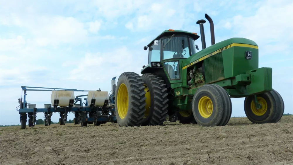

Our fantastic weather window remains open over Michigan. We are looking at favorable weather for planting progress over most of the next week before seeing a bit of needed rain potential. But only a bit.
Temps will be above normal for the entire upcoming 10 day forecast window. This holiday weekend we see south flow in control, with very dry air and fast evaporation potential. The best opportunity for forage and hay work will be the next 5 days.
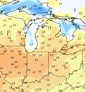
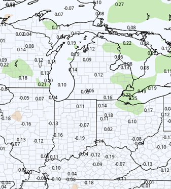
Humidity values start to rise for the second half of the week, starting Wednesday and Thursday. This shows an increase of moisture in our atmosphere and will also play a role in adding a little more instability. As such, we can’t rule out pop up scattered showers or even a rumble of thunder as an offshoot. This will normally play out late afternoon and evening, so watch for some action Thursday night into early Friday, Friday night into early Saturday and then again potentially Saturday night and early Sunday. Coverage potential on any single one of those days will be less than 20% and the overall cumulative coverage stays less than 50%. Combined for the 3 day period, we can see .1”-.5” rain totals where it rains. The map below shows potential.
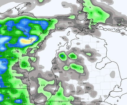
Now, remember, this kind of precipitation set up is very hit and miss and there are a lot of holes. With no changes as we get closer, there will be concern over many areas of the state on being very dry. We will be in the “need” category on rains by late this week, if not sooner. An organized frontal passage is still not expected anytime soon.
Behind the heat based action, we move back drier for next week from Sunday afternoon through next Tuesday to finish the 10 day forecast window. Temps remain above normal.
Extended Period:
A sagging cold front comes through the Great Lakes and across our region for next Wednesday the 7th. This front has potential to bring .25”-.75” with 75% coverage. Slightly cooler temps will be in behind it for the 8th, but then we see warmer air return. Dryness is expected from the 8th through the 12th.

Weeks 3 & 4:
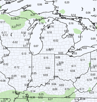
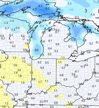
Precipitation looks to be near normal both in week 3 and week 4. Temps are near normal for week 3 but turn quite warm with well above normal marks expected for week 4.
Week 3 Precipitation (Green = above normal, Brown = below)
Week 3 Temperatures (yellow/orange = above normal, blue = below)
Week 4 Precipitation (Green = above normal, Brown = below)
Week 4 Temperatures (yellow/orange = above normal, blue = below)